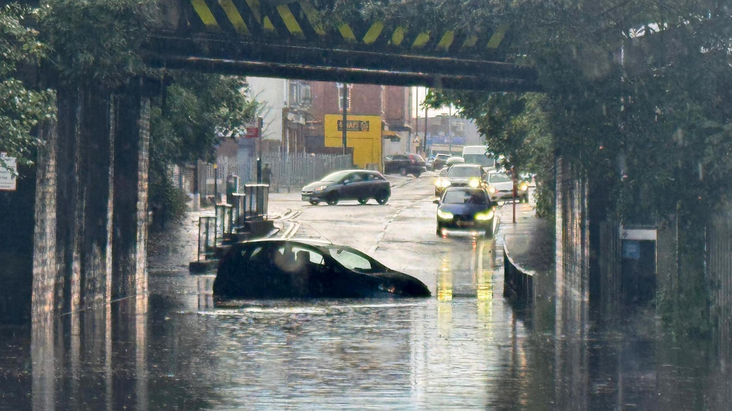
Forecasters are warning that a series of powerful weather systems is expected to move across portions of the Midwest and Southeast over the coming weekend, bringing the potential for damaging winds, large hail, and intense rainfall. Meteorologists are closely monitoring the evolving patterns, noting that a clash between warm, humid air from the Gulf of Mexico and cooler air from the north is creating a setup ripe for strong to severe storms.
As the weekend nears, the weather patterns are setting up in a manner that could trigger several instances of severe weather across various states. The main worry is the likelihood of organized thunderstorms evolving into supercells, which might generate dangerous wind bursts strong enough to uproot trees, disrupt power lines, and inflict structural harm. In certain locations, there is also a notable threat of sizable hailstones that could harm cars and roofs.
The Midwest is expected to see the first wave of storms, likely beginning late Friday and intensifying through Saturday. States such as Missouri, Illinois, and Indiana may experience scattered severe thunderstorms that could quickly turn widespread, especially during peak heating hours in the afternoon and evening. Residents are advised to pay attention to local alerts and prepare for changing conditions, as rapid storm development can leave little time for reaction.
For the weekend, particularly from Saturday night to Sunday, the storm is expected to move towards the Southeast, affecting areas in Kentucky, Tennessee, Alabama, Georgia, and the Carolinas. The presence of humid and unstable air in these areas heightens the chances of intense rainfall and the potential for sudden flooding, especially in low-lying regions or neighborhoods close to rivers and streams. Emergency management authorities stress the importance of having various methods for receiving weather warnings, such as mobile notifications and NOAA weather radios, particularly during nighttime when individuals might be asleep.
In addition to the damaging wind and hail threat, forecasters warn that isolated tornadoes cannot be ruled out. While the overall tornado risk is considered lower than the potential for straight-line wind damage, the unpredictability of supercell development means even brief, localized tornadoes could form. These can still be dangerous, capable of causing injury and property damage, particularly if they touch down without much warning.
Meteorologists with the National Weather Service along with private forecasting companies are actively fine-tuning their models in the moment, modifying expected storm paths and intensity as fresh information is received. The deployment of weather balloons, satellite images, and Doppler radar data is crucial in observing the evolution of these storm formations. Initial signs indicate that the danger of severe weather will differ across the impacted areas, with certain regions possibly experiencing just significant rainfall, whereas others might face harsher conditions.
For farmers across the Midwest and Southeast, the approaching storms present both challenges and potential benefits. While the rainfall may provide much-needed moisture for crops in certain areas, high winds, hail, and flooding could cause significant agricultural losses. Fields of corn, soybeans, and wheat are especially vulnerable to hail damage, which can shred leaves and reduce yields. Livestock operations must also prepare for the possibility of dangerous weather, ensuring that animals have shelter and that operations have contingency plans in place.
Transportation may be affected as well, especially for individuals traveling long distances by car or passing through significant hub locations within the impacted regions. Intense rainfall has the potential to create dangerous driving situations, and high winds might cause disruptions to flight timetables at airports in cities like St. Louis, Nashville, and Atlanta. It is advisable for travelers to stay updated on weather predictions and keep travel plans flexible due to the possibility of unexpected weather-related delays.
Areas that have experienced storms in the past are paying close attention to the weather predictions. Authorities in certain communities are already organizing emergency shelters and assessing their plans for dealing with potential disasters. Power companies are also on standby, ready to dispatch teams swiftly to address possible power failures due to trees falling and winds damaging power lines.
Although the storms are expected to clear up in a few days, their effects might linger, especially if there is extensive damage or significant flooding. Cleanup operations might take several days or even weeks, influenced by the severity of the storm and the resources allocated for recovery. Insurance claims could also rise, notably for damage caused by hail and wind, as property owners and companies evaluate the impact.
Specialists emphasize that being well-prepared is the most effective protection against harsh weather conditions. They advise anchoring any objects outdoors that might be carried away by the wind, confirming that emergency supplies contain necessary items, and establishing a clear strategy for finding refuge. For families residing in mobile homes or older buildings, pinpointing more robust structures nearby to move to during storms can be crucial for safety.
The approaching weekend emphasizes that the period of extreme weather is not limited to the typical “storm-prone” regions. Due to changing climate trends, powerful storms have the potential to hit extensive parts of the nation, making awareness and preparation crucial. Meteorologists will keep informing the public as situations change, encouraging caution and prompt response when alerts are given.
While not every community in the Midwest and Southeast will experience severe impacts, the broad scope of the threat means millions of people should remain aware of changing conditions from Friday through Sunday. Whether it’s through weather apps, local broadcasts, or emergency alert systems, staying connected to reliable sources of information will be key to staying safe as the weekend’s storms unfold.


